
Archive
Tag: geodesign
Article
Subscribers
Collective Creativity in a Geodesign World: The DC-Baltimore Futures Studio
by Jana VanderGoot, Dan Engelberg, Gerrit-Jan Knaap
pp. 377–400
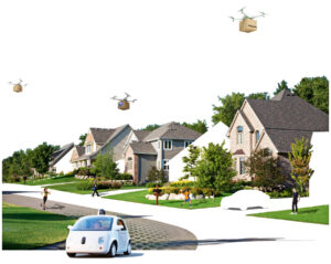
In the spring of 2018, the National Center for Smart Growth (NCSG) invited architects at the University of Maryland to engage a project called PRESTO (Prospects for Regional Sustainability Tomorrow). PRESTO is believed to be the first attempt at addressing the long-term sustainability of the DC-Baltimore region using advanced algorithmic modeling and scenario analysis techniques to examine the impacts of fuel costs, technological advancement, and government regulation. This article highlights contributions of the DC-Baltimore Futures: Designing XL to XS studio as it engaged the multi-disciplinary NCGS team on PRESTO, which is described in this article as a geodesign project. The impact of collective creativity as part of DC-Baltimore Futures studio pedagogy is discussed as one of the many ways that the PRESTO algorithms were tested. The article concludes with reflections on the role and potential of collective creativity in open source modes of geodesign and “senseable” city design.
Buy
Already in your cart -
View cart
Article
Open Access
(Geo)Design Coastal Cities: Design with Data (and Nature too)
by Ming-Chun Lee, José L.S. Gamez
pp. 337–366
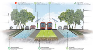
The geography of a coastal city, such as its native geological, biological, and physical conditions, plays an important role in understanding the impacts of climate change upon the area. To better identify strategies for adaption to global climate change, planners and designers need better tools and techniques to learn and analyze the geographical context of their cities on coastlines worldwide. This article describes an urban design studio conducted in the spring of 2014. Students in this class explored the future of North Carolina coastal cities in light of rising global sea level. Geodesign using GIS and other visualization tools enabled the students to focus on urban morphology, development patterns, and environmental characteristics of the city in order to identify new interventions that can support a new set of relationships between urbanity and nature.